MuVIT Software
The MuVIT boating simulator is based on readily available and relatively inexpensive commercial software you can download from the internet and use almost immediately. There are some add-on features provided by us but they are optional. Those are discussed separately on the hardware page.
What we selected for the MuVIT software

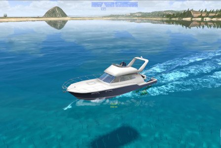
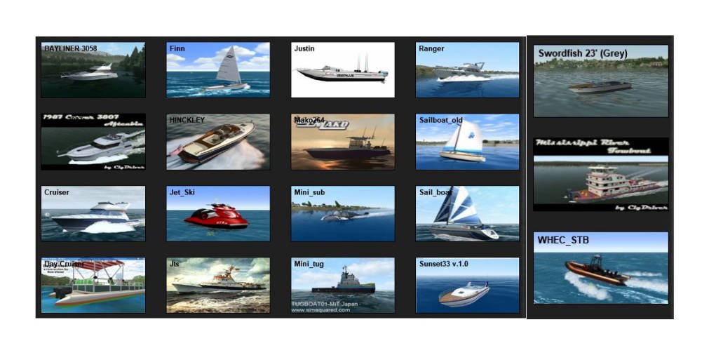
Contrary to its name Virtual Sailor NG is not strictly a sailing simulator, it has numerous powerboats in many configurations which vary from runabouts and jet boats, PWC’s to pontoon boats, cruisers, and of course sailboats. A few samples are shown below but a large library of downloadable vessels exists.
The MuVIT software we selected allows for both single and twin-engine boats which you can download and install. The ability to use both configurations allows an easier understanding of some concepts such as pivot points which are very different for multi vs single-engine boats. See the addons page for more information.
The Virtual Sailor software comes with a 3-year license which beats a yearly maintenance contract.

Weather and Water Characteristics
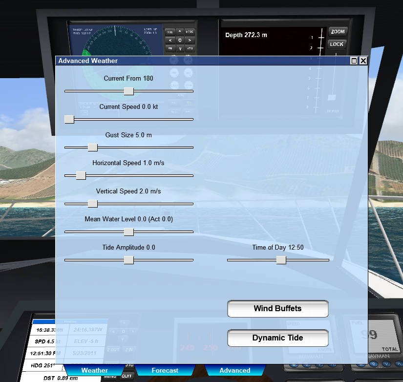
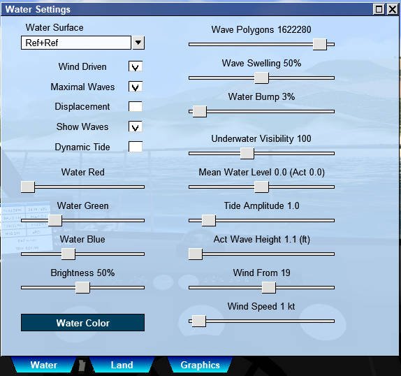
The MuVIT software allows for a wide range of configurable environmental conditions such as wind, currents, waves, tide, and time of day. You can also import animals into the environment although you should be cautious since adding a bunch of seagulls or other wildlife can quickly tax your system’s capabilities if it isn’t equipped to handle the graphics requirements. Fish don’t have this effect and it is nice that they show up on the fish finder depth display. The ability to set wind and current independent of each other allows for one to create several docking scenarios varying from simple to very complex. Add in wind gusts and you can have a very real-world scenario. Adjusting the wind affects the waves as one would expect which allows setting up some interesting scenarios such as current and wind opposing while running an inlet, or a running before the waves situation which can be instructive. Having the boat take waves on the beam has predictable results…
Instrumentation
The Virtual Sailor NG software comes with a full instrumentation suite built into the simulator. These include depth finders, GPS, Chart plotter, and RADAR. Some such as the sonar have variations such as a fish finder, side scan, etc. GPS has all the standard modes such as the numeric shown below as well as compass and chartplotter. For vessels that have the GPS on the console, you can select the display mode. All the instruments have working controls that can be adjusted with your mouse and the buttons can be used as you would in a real unit to perform such actions as setting waypoints, adjusting range rings, etc.
The radar allows you to adjust gain, sea clutter, rain, and other common functions as you would in a real unit making learning the basic radar operation in the classroom or seminar setting a viable alternative. Also, the package supports pushing the radar and map to external displays so they don’t clutter the main display, making teaching radar basics easier by reducing distractions on the screen. Those displays can also be shrunk and moved to less intrusive areas of the screen.
Scenery
A large number of scenery add-ons exist for Virtual Sailor NG, both in the official library and those developed by third parties. These are global in scope but we will be focused primarily on North American locales. Of those, there are many including New York City, several Florida locations, the Caribbean, the northeast, the Pacific Northwest, California, and a few lake locations. So something for everyone with more being developed all the time. Additionally, there is ample documentation and a tool suite for developing your own scenery be it fictional or based on real data.
The ability to use real bathymetric and height maps from USGS and other sources readily available on the internet means you can create simulations of local areas with some practice. There are also tools available to aid in creating buoys and sectored lights. As time goes on we hope to be able to add to a growing library of real-world locations. The scenery typically has appropriate coordinate information integrated to allow for integration with OpenCPN. See addons page for more scenery information.
OpenCPN Integration
Since Virtual Sailor uses a real-world coordinate system it can send NMEA data to external devices. This means you can easily export the simulation to OpenCPN and display all your information on real charts of the area in the simulation. This is all built into the software, all you need to know is the IP address of the device you will be sending it to. Once configured properly your boat should show up on the chart and display all the relevant SOC, COG and everything else you would expect to see as well as the appropriate movement of the icon on the display. Expect to see a lot more about this. Be aware some scenery has a more accurate absolute position than others so results can vary.


