An exceptional Florida Scenery
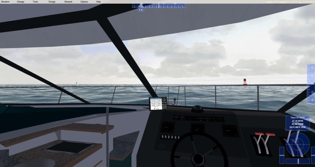
I’ve been working with the Florida scenery addon from Robs VSF Addons lately. This scenery is truly the work of someone who loves what they do. It covers the entire state and out to Bermuda. The key feature is the large number of ATONS both dayboards and buoys. While it isn’t perfect, it is undoubtedly a leader in the educational scenery department. So let’s look at a few representative sample areas and see what it is and how they could be used.
The big picture
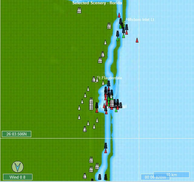
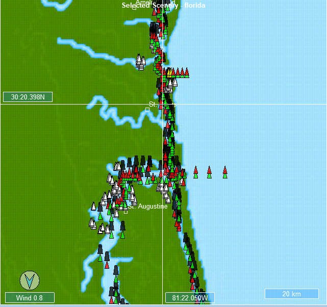
As you can see the large-scale scenery shows that the entire coastline and some inland areas have a goodly collection of ATONS. At this scale, you can’t really make them out and you are probably wondering what the black squares and white triangles denote. We’ll explain those as we move to a lower scale with some more detail. We’ll take a look at a few but as you can see, it is pretty comprehensive.
Tampa Bay
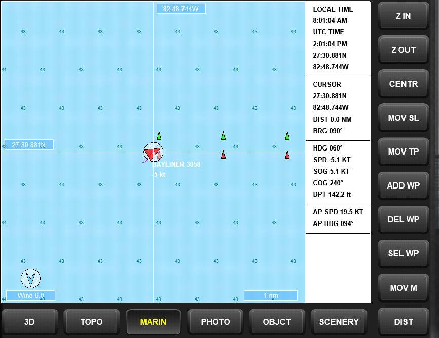
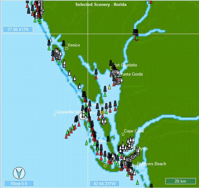
Since MuVIT is a Tampa Power Squadron project, we get to go first. First off, you’ll notice that all the red/green marks are there. They are fairly accurate as to where the main channels run, certainly good enough for our purposes in running a simulation for a class demonstrating basic navigation.
The black squares denote a lighted aid, which if you set the simulation to night time you will see those lit with the appropriate color, the pattern may not be there but you can’t have everything. Some of the black squares are on land denoting a lighthouse or similar. White triangles denote a cityscape within the scenery.
Overall this Florida scenery is very effective. The Port of Tampa looks fairly accurate and I could identify the convention center at the mouth of the Hillsborough River. Wish the river went further but it isn’t really a very long run anyway before it becomes unnavigable.
The Charlotte Harbor one looks pretty in line with charts but I like that the Peace River is there and navigable for a significant distance. The others look reasonable based on my memories of the areas. These have a lot of potential for teaching basic navigation skills and so consider this one as a tool in your box.
Having said that, I would be remiss not to point out that this chart in the simulator does not align perfectly with OpenCPN. It has offsets that vary from 1-5 miles, but it does work very well within the simulator itself. I have contacted the developer of this Florida scenery who is considering doing an update that would fix the issue with OpenCPN, we’ll just wait and see what happens but even without OpenCPN, this scenery is a winner.
A word of caution, this requires some modifications within Virtual Sailor to run it so pay attention to the instructions if you plan to install it. I will also be putting out a tutorial on how to install this easily within the next week or so.


