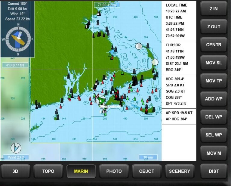
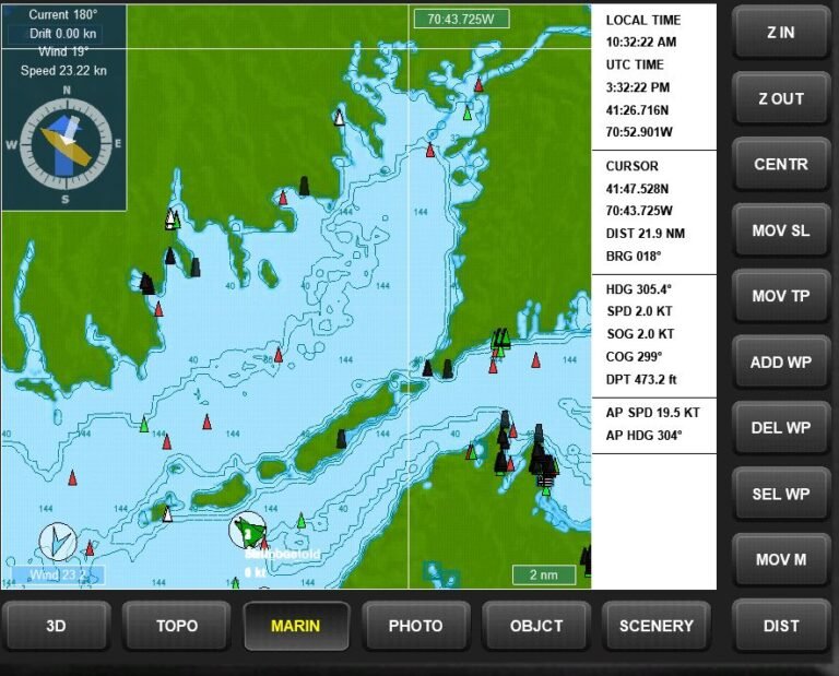
We found a free 1210TR Training Chart
We have found a version of the 1210TR training chart AKA Marthas Vineyard To Block Island which works with MuVIT. We are evaluating it to see how accurate it is, and it seems to be pretty good so far. Indeed, it appears you could do cruise planning with it at this point. It probably won’t be dead-on to the 1210tr simply because that training chart is a moment frozen in time circa 1990.
It has a full complement of both lighted and unlighted aids to navigation (ATONS) including beacons such as lighthouses. All the lighted aids turn on just before dusk so you can get realistic nighttime simulations although I haven’t had the opportunity to check if the light patterns are correct yet. The depths match up to the 1210tr as one would expect as do the landmasses. The various ATONS appear to be where they should be at least generally.
One nice feature of this particular vessel, the Justin, is a simple console but with instrumentation that updates in real-time so as you move the depth and chart also update, but I digress.
Granted, these are not NOAA quality charts and lack some of the details, but if the objective is to teach basic navigation skills, cruise planning, waypoint usage, and route building it should be perfectly adequate.
As I said, we are still evaluating it, mostly to determine if the ATONS are where they should be and if not, can they be adjusted?
Would this work as a radar training chart?
I have some testing to do to see if this would be suitable for radar training but I was able to see a distinct signal from the buildings (lighthouse and village) on land distinguished from the terrain return, so there is hope there. The land gives appropriate returns based on elevations with low elevations such as beaches not showing but higher inland areas showing as expected, so yes, you can run into the beach even though the radar shows all clear ahead, as one would expect. We’ll be doing a seperate tutorial on how to use the radar in the near future.
The Verdict
We need to set up with OpenCPN and do a side-by-side comparison but as noted earlier, the 1210tr is a moment frozen in time and has not been updated since the 90’s so it probably won’t be a perfect match but this chart is also frozen in time so you have to adjust to the tools you have to work with.
We can’t give a final verdict on this yet but at this point, it certainly looks like this would work for basic navigation training. This might make a viable radar training chart since it has a bit of everything in it, which is what makes it a good general chart. Here is a link to it if you want to try it out, it will be one of the charts preloaded in turnkey systems when shipped. It will unzip to a .exe file then you should follow the instructions in the tutorial for installing scenery.


